Community Corner
Storm System Lacked the Predicted Punch [UPDATE]
Line of storms didn't bring the severe wind, hail and drenching rains.


Updated 5:15 a.m.:
The residual effects of the storm system that passed through the area Thursday evening include 100 Connecticut Light & Power customers without power as of 5 a.m.
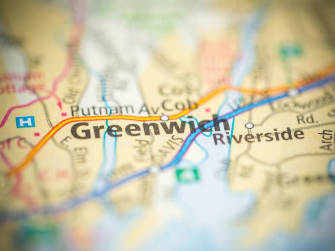
When the system hit Greenwich about 7 p.m. Thusday, there were some wind gusts and a heavy downpour which quickly mellowed into a summer rain shower punctuated with occasional claps of thunder. Throughout the evening there were reports of down wires caused by falling limbs and trees.
Find out what's happening in Greenwichwith free, real-time updates from Patch.
The storm wasn't strong enough or caused enough damage to warrant the opening the town's Emergency Operations Center by town officials.
The National Weather Service (NWS) is calling for the chance of thunderstorms throughout the day Friday and Friday night, continuing through the weekend. Friday is expected to be mostly cloudy with highs in the upper 80s.
Find out what's happening in Greenwichwith free, real-time updates from Patch.
Here's the complete weekend forecast from the NWS:
- Today: A chance of showers and thunderstorms, mainly after 9am. Some of the storms could produce heavy rain. Mostly cloudy, with a high near 89. West wind 3 to 7 mph. Chance of precipitation is 40%.
- Tonight: A chance of showers and thunderstorms, mainly before 2am. Patchy fog after 2am. Otherwise, mostly cloudy, with a low around 71. Light and variable wind. Chance of precipitation is 30%.
- Saturday: A chance of showers and thunderstorms. Patchy fog before 7am. Otherwise, partly sunny, with a high near 84. Northeast wind around 6 mph becoming light and variable in the afternoon. Chance of precipitation is 40%.
- Saturday Night: A chance of showers and thunderstorms before 1am, then a slight chance of showers. Mostly cloudy, with a low around 67. Light south wind. Chance of precipitation is 40%.
- Sunday: A slight chance of showers, with thunderstorms also possible after 7am. Mostly sunny, with a high near 84. Northeast wind 5 to 7 mph. Chance of precipitation is 20%.
- Sunday Night: A slight chance of showers and thunderstorms. Mostly clear, with a low around 65. Chance of precipitation is 20%.
- Monday: Mostly sunny, with a high near 82.
- Monday Night: Partly cloudy, with a low around 67.
Updated 9:25 p.m.
They came, they rained, they went. The severe thunderstorms that weather forecasters spent the day forewarning tri-state residents to take precautions passed through the region with claps of thunder, bolts of lightning and some gusty blasts.
But by 9 p.m., it wasn't anything like they predicted for Greenwich. Yes, there were the storms with downed trees and power lines, but the nearly 60 mph wind gusts, inch-sized hail and rainfall reaching 1 to 2 inches per hour apparently bypassed town.
Emergency crews spent the evening responding to alarms set off by the weather, and installing tape across roads where limbs and trees fell, sometimes taking utility wires with them. As of 9:20 p.m., 131 CL&P customers in Greenwich were without power—less than a half-percent of the nearly 28,000 customers in town.
As the storms arrived about 7 p.m., the leaden skies opened up with a wind-driven rain out of the northwest. It lasted about 10 minutes—at least in the western end of town—settling into a much-needed gentle, soaking rain. (If you have photos or video of the storm, you can upload it by clicking on the green camera button above.)
The National Weather Service now says less than a quarter-inch of rain is expected overnight, and the severe thunderstorm warning has been lifted.
We may not be out of the woods—thunderstorms are predicted for Friday and through the weekend. Here is the forecast for Friday and the weekend, as of 9:25 p.m.:
- Friday: A chance of showers and thunderstorms, mainly after noon. Some of the storms could produce gusty winds and heavy rain. Patchy fog before 9am. Otherwise, mostly cloudy, with a high near 89. West wind around 9 mph. Chance of precipitation is 40%.
- Friday Night: A chance of showers and thunderstorms, mainly before 9pm. Some of the storms could produce heavy rain. Patchy fog after midnight. Otherwise, mostly cloudy, with a low around 70. Northwest wind around 5 mph becoming calm in the evening. Chance of precipitation is 40%.
- Saturday: A chance of showers and thunderstorms, mainly after noon. Mostly cloudy, with a high near 86. North wind around 6 mph becoming southeast in the afternoon. Chance of precipitation is 50%. New rainfall amounts between a quarter and half of an inch possible.
- Saturday Night: A chance of showers and thunderstorms, mainly before midnight. Mostly cloudy, with a low around 68. North wind around 5 mph becoming calm in the evening. Chance of precipitation is 40%.
- Sunday: A slight chance of showers and thunderstorms. Mostly sunny, with a high near 84. Chance of precipitation is 20%.
- Sunday Night: Partly cloudy, with a low around 67.
- Monday: Mostly sunny, with a high near 84.
- Monday Night: Partly cloudy, with a low around 67.
Updated 4:50 p.m.
Greenwich First Selectman Peter Tesei, the town's police and fire commissioner, issued this statement at 4:37 p.m., regarding the town's storm response plans.
"The Town of Greenwich through the Emergency Management Director is monitoring the weather and a decision to partially activate the Town's EOC with designated personnel will be made as events unfold later this afternoon."
Updated 3:45 p.m.
Gov. Dannel P. Malloy ordered the partial activation of the state’s Emergency Operations Center (EOC), effective at 3:30 p.m. today to monitor and manage any issues that may arise as a result of the
severe weather predicted for this afternoon and evening.
“After assessing the situation with emergency management officials, I have directed a partial activation of the EOC,” Malloy said in a prepared statement. “This will allow us to better coordinate with municipalities and state agencies, and respond quickly should we have power outages or other damage from these potential storms. I encourage Connecticut residents to closely monitor weather conditions throughout the day and evening, and take proper precautions to stay safe.”
Greenwich Emergency Management Director Dan Warzoha said he is consulting with First Selectman Peter Tesei, who also is the town's police and fire commissioner, on whether to activate the town's EOC. Patch will provide updates as soon as information is available.
In a statement, Connecticut Light & Power’s (CL&P) officials said emergency response planning is well under way in anticipation of tonight's strong storms which have the potential to cause extensive damage throughout the region. "All CL&P employees stand ready to assist in the restoration effort and the company has already begun reaching out to other utilities, including our sister companies in New Hampshire and Massachusetts, for additional utility crews," officials said.
"We want our customers to know that we’re closely monitoring weather forecasts and are prepared to respond quickly and safely in the event of widespread power outages,” said CL&P Senior Vice President of Emergency Preparedness Bill Quinlan. "Our town liaisons will be in direct communication with each community we serve throughout the storm to keep them updated on restoration efforts. We will also be coordinating closely with state and municipal officials to keep them informed."
As of 3:45 p.m., the National Weather Service's 'Special Weather Statement' said:
"A line of severe thunderstorms is currently moving through central New York and central Pennsylvania and is on track to enter the forecast area this evening. These storms have a history of producing wind damage and are not likely to weaken as they approach the local area.
"This line will first enter the lower Hudson Valley, northeast New Jersey and New York City between 5 and 6 p.m. and will move east into Connecticut and Long island between 7 and 8 p.m. Additional thunderstorms will linger over the area through midnight.
"Severe thunderstorms are capable of damaging winds over 58 mph and hail over 1 inch in diameter. Frequent and dangerous lightning strikes are expected with these storms. Torrential rain with rates between 1 and 2 inches per hour is likely, possibly producing flash flooding over the area. Isolated tornadoes cannot be ruled out."
The state EOC will be staffed by the Division of Emergency Management and Homeland Security, Division of the State Police, Department of Public Health, Department of Transportation, Military Department, Department of Energy and Environmental Protection, State Fire Coordination, Connecticut Light & Power and United Illuminating.
The governor's office also issued helpful safety tips in preparation for the storms. Here are some recommended safety tips:
- Watch the sky for approaching dark clouds, increasing winds, and flashes of light.
- If thunder can be heard, you are close enough to the storm to be struck by lightning, and you should
- take shelter immediately.
- Avoid using electrical equipment/appliances, and preferably unplug things such as televisions, air conditioners, and computers. Electrical lines are excellent conductors of electricity.
- Do not take baths or showers during storms, as water is an excellent conductor of electricity. Use as little water as possible during storms.
- Draw blinds and shades over windows as a precaution to prevent windows shattering into your home, should they be broken by blowing debris.
- Stay away from all types of bodies of water. If you are boating or swimming, get to land and find shelter immediately.
- Secure outdoor objects, such as lawn furniture, that could blow away or cause damage or injury.
Original story:
Severe thunderstorms are forecast for today as part of a hazardous weather outlook issued by the National Weather Service for the region, including southern Connecticut.
There is a moderate risk for severe thunderstorms this afternoon and evening, with damaging winds and heavy rain expected. Large hail is possible as well and an isolated tornado cannot be ruled out, according to the National Weather Service.
The unstable weather is being caused by a system moving in from the Great Lakes region. While a line of storms may move through the area later this morning, much of the stormy weather is expected to develop late afternoon, and continue into the evening, according to the NWS.
Here’s the forecast as of 5:30 a.m.:
- Today: A chance of showers and thunderstorms, mainly after 5pm. Some storms could be severe, with large hail, damaging winds, and heavy rain. Partly sunny, with a high near 90. South wind 5 to 10 mph. Chance of precipitation is 30%.
- Tonight: Showers and thunderstorms likely, mainly before 10pm. Some storms could be severe, with large hail, damaging winds, and heavy rain. Cloudy, with a low around 75. West wind 5 to 9 mph becoming light southwest after midnight. Chance of precipitation is 70%. New rainfall amounts between a half and three quarters of an inch possible.
- Friday: A chance of showers and thunderstorms, mainly after 10am. Mostly cloudy, with a high near 92. West wind 6 to 8 mph. Chance of precipitation is 40%.
- Friday Night: A slight chance of showers and thunderstorms. Mostly cloudy, with a low around 70. West wind 5 to 7 mph becoming north after midnight. Chance of precipitation is 20%.
- Saturday: A chance of showers and thunderstorms, mainly after noon. Mostly cloudy, with a high near 85. North wind around 9 mph. Chance of precipitation is 40%.
- Saturday Night: A chance of showers and thunderstorms, mainly before 10pm. Mostly cloudy, with a low around 68. Chance of precipitation is 40%.
- Sunday: Mostly sunny, with a high near 84.
- Sunday Night: Partly cloudy, with a low around 67.
Get more local news delivered straight to your inbox. Sign up for free Patch newsletters and alerts.